Tuesday, July 26, 2011

Burke Wind Tower (Updated)

There are lots of projects going on at Burke this summer. In addition to the HSQ lift, there are also new lift served mountain bike being constructed on the lower mountain and a medium size wind turbine has also been built near the summit.
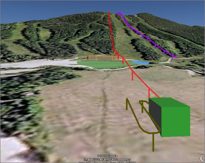
The new turbine is a Northern Power 100 Arctic ( Northernpower.com ) and is sited at the top of Upper Dipper between the trail and the power line. The turbine is estimated to produce around 300,000 kWh/year which will fill 15-20% of Burke's electrical needs. However, this % is figured on a "typical" 2,000,000 kWh annual usage rate. Adding the new High Speed Quad chairlift (which are typically big electricity consumers) to the equation will likely cause that % rate to decrease. However, I commend Burke for trying to save money by generating some of its own power.
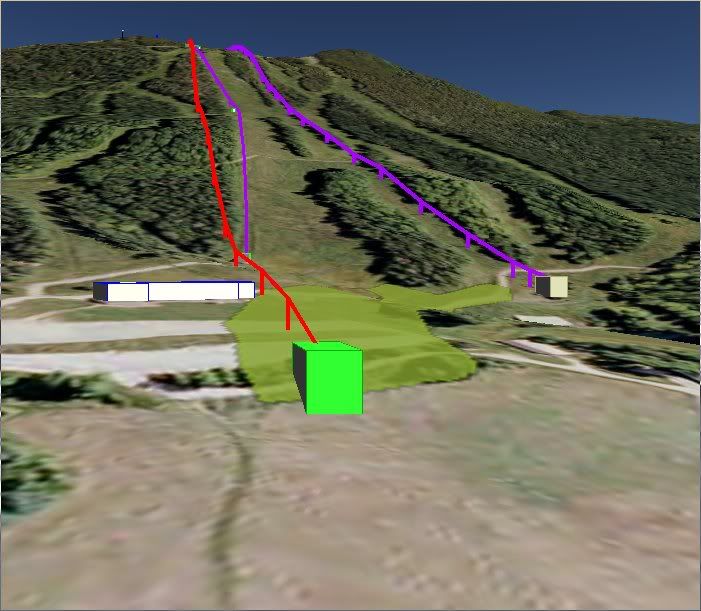
Google Earth renderings (the wind tower is the grey column):


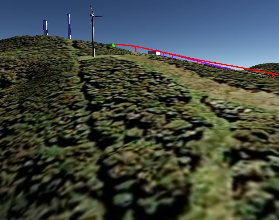
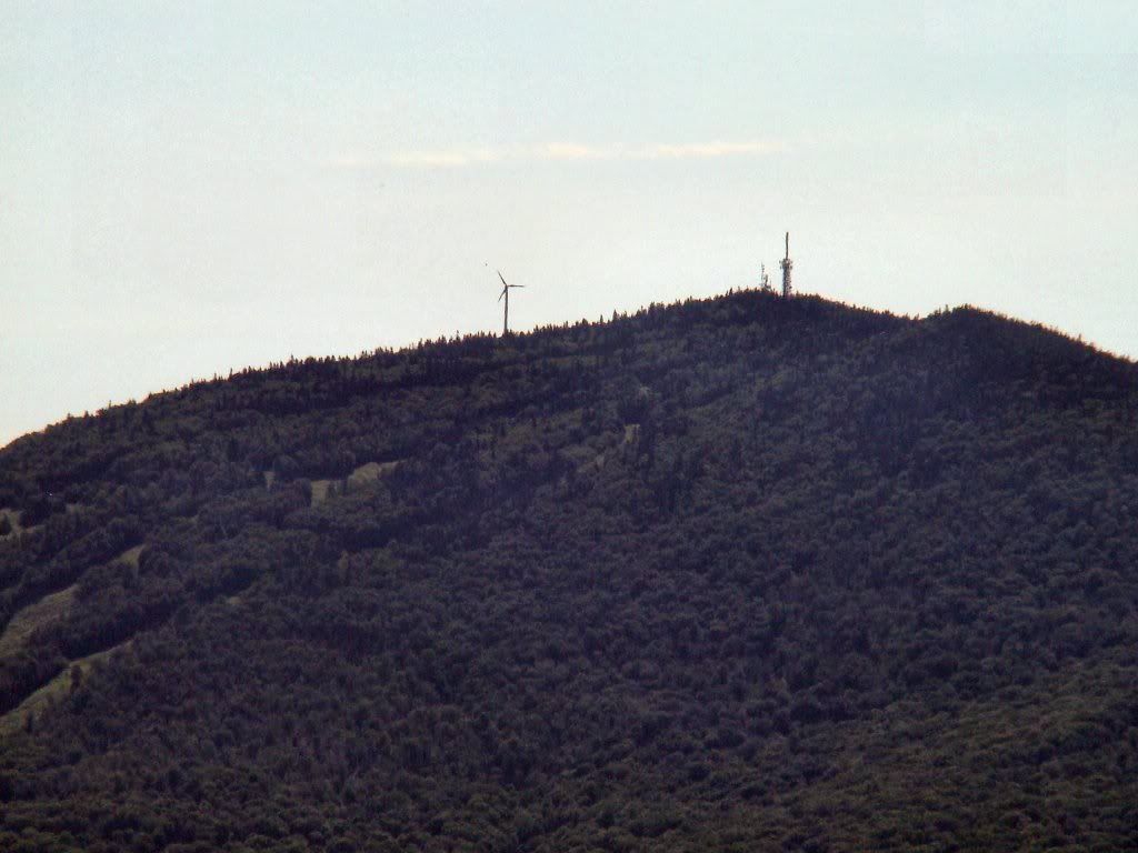
Located right at the top of the Dippers. This photo was taken from where the traverse from the Willoughby chair crosses the the last corner on toll road.
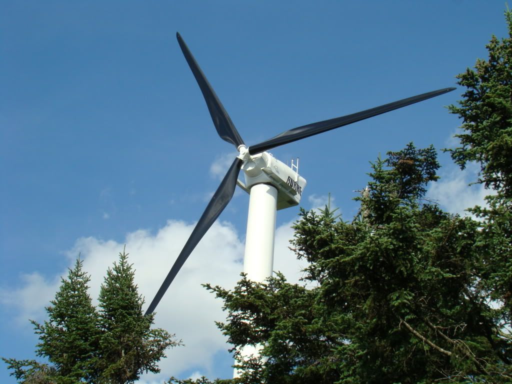
Close-up:
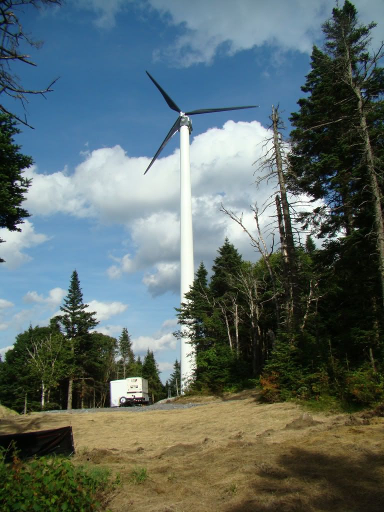
From the Summit parking lot:
The wind tower is a roughly the same height as the big TV/Radio antenna at the summit. Roughly 190' tall to the tip of the blade high point. Since the wind tower is a bit off of the summit it isn't visible from downtown Lyndonville. While I can see it from my house, it isn't prominent. The blades are black and the column is white. If they had painted the pole dark grey it would have been even less visible. The white really stands out when the sun hits it.

From Pudding Hill (Sutton end):

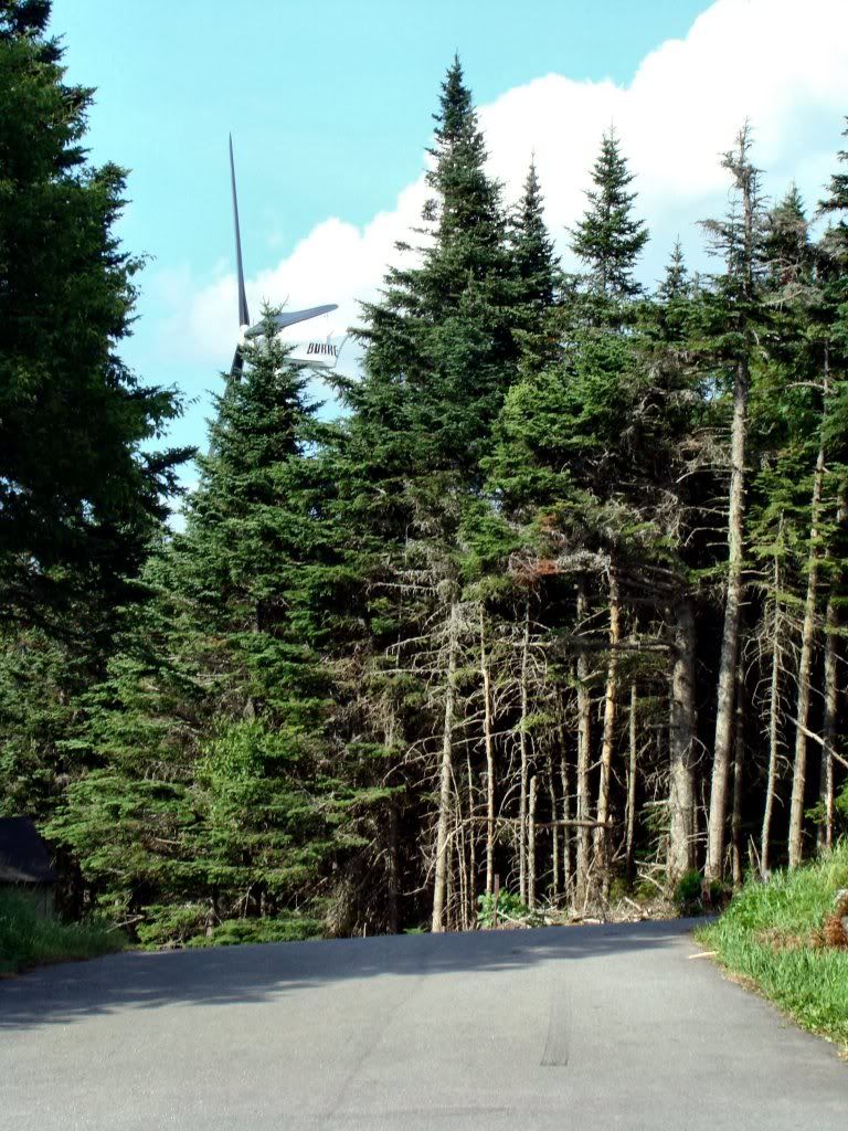
From the Mtn Road in front of Burke Mountain Academy:

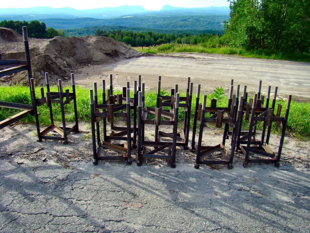
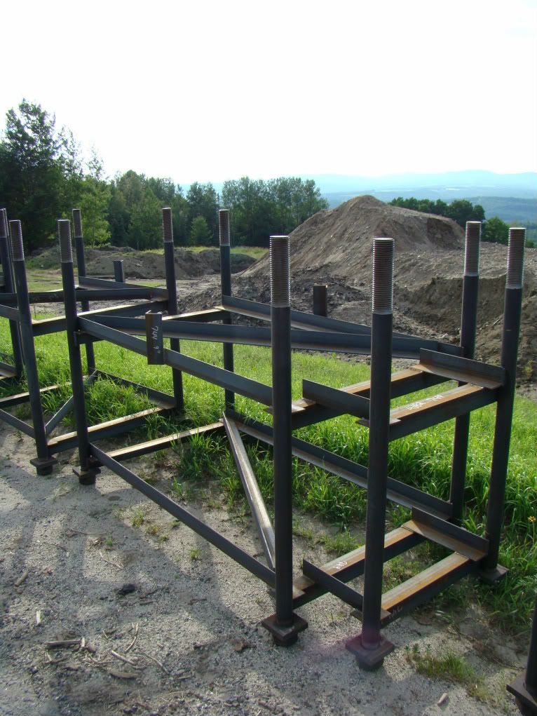
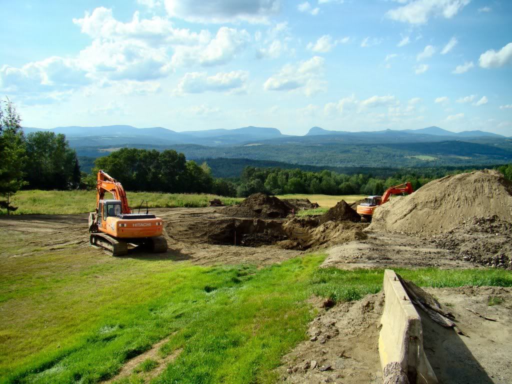
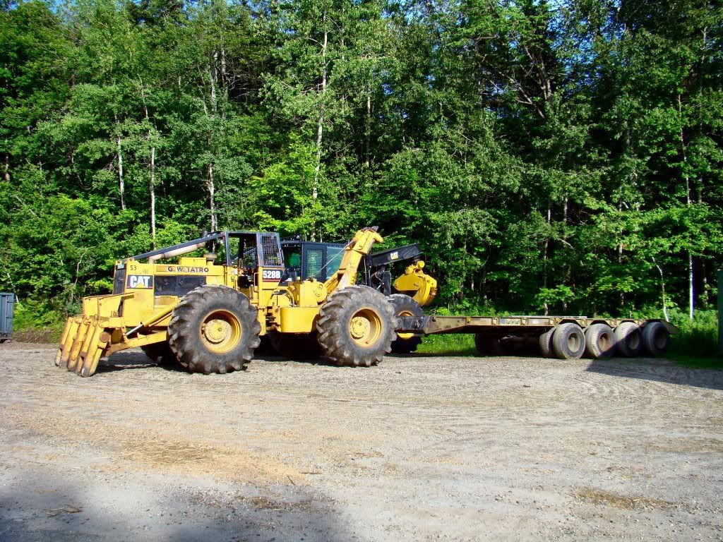
Equipment used to transport components to the summit:

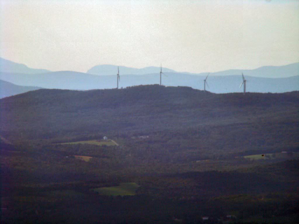
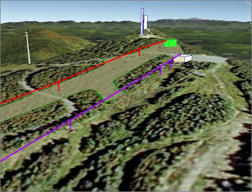
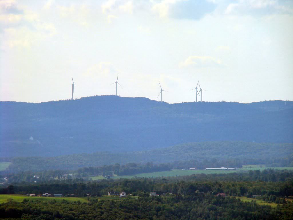
Meanwhile across the Passumpsic River Valley, an industrial wind farm is being constructed on Sheffield Heights. There will be 16 turbines built here at a height of roughly 450 feet from base to the tip of the top blade. Currently five have been erected.
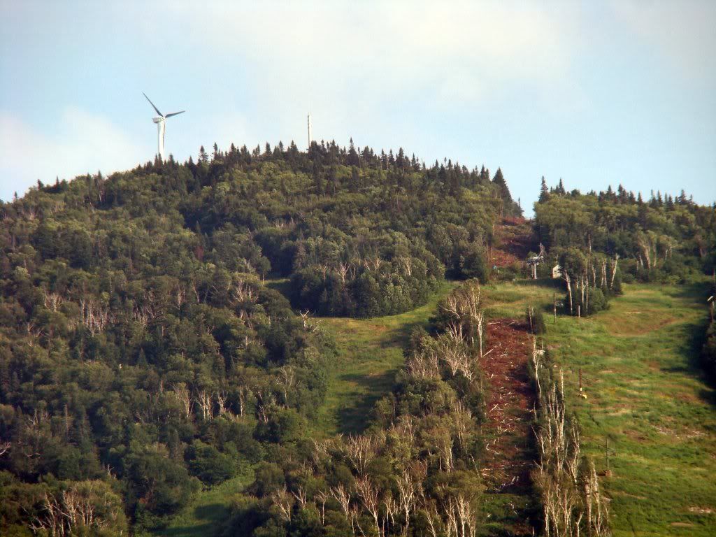
From the Mid-Lodge

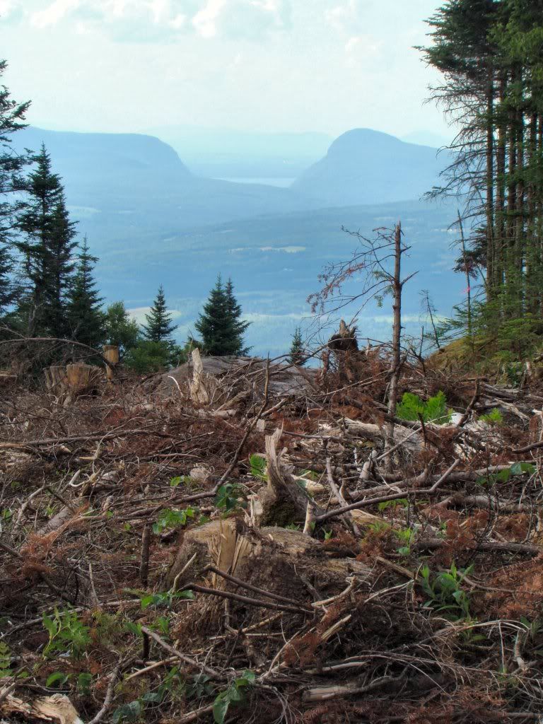
From the Summit (note that the next ridge line visible behind this one is the Lowell Mtn range which is set to have 21 such towers installed next year):

Burke HSQ Update (modified 7/29/11)

Progress on the new lift has begun to pick up speed the last couple of weeks. What appears to be anchors for the lift tower and terminal footings have been dropped off in the Mid-Burke parking lot.


The lift line has been cleared of the majority of debris.
From the top toll road crossing:

And the old race timing building has been partially demolished:


The summit area is cleared and ready for escavation as well:


Most recently escavation work has started along the lower edge of what used to be part of the Mid-Burke parking lot. There is a large hole being dug here. However, it is difficult to tell what it is going to be for. It seems rather large for a lift tower footing. If this is the hole for the base terminal, it would mean the lift line has been shortened by about 500' (resulting is a loss of 70' of vertical) from the plans in the Act 250 permit application (theory was confirmed 7/28/11). It would actually closer to the location outlined in original master plans that were put out several years ago. This may actually be a good thing as that extra 500' down into the meadow would be rather boring to ski everytime to get back to the lift. Especially coming from the Willoughby side of the mountain.

Google Earth rendering from the Act 250 plan:

Google Earth rendering of the actual base terminal installation location. The olive colored area is where re-grading has taken place:

Digging a big hole: